The Arrifana Coast: Where the Rota Vicentina Meets the Algarve
Photo: Bextrel · Wikimedia Commons · CC BY-SA 4.0
Walk from Amoreira beach toward Arrifana on a weekday in spring and you may encounter only a handful of hikers. Arrive at Arrifana on a summer weekend and parking can take longer than expected. The Arrifana coast sits where the Rota Vicentina crosses the western Algarve, and visitor numbers change sharply with the season and time of day. That contrast is the practical starting point for planning a visit.
The Rota Vicentina’s Fishermen’s Trail follows the Alentejo and Algarve coast, with stages continuing through Aljezur municipality toward Lagos. The section linking Amoreira and Arrifana passes through this transition. Trail markers can be sparse on the approach to Arrifana, so walkers should check the current official stage map and route conditions before setting out. If you are driving from Lagos, allow around 45 to 60 minutes in normal conditions and extra time during busy summer periods.
The Arrifana coast is most useful when you choose a beach according to access, conditions, and expected crowds.
The Three Beaches: A Practical Comparison
If you are deciding where to spend a morning on this stretch, three beaches anchor most itineraries: Arrifana, Amoreira, and Monte Clérigo. Here is how they compare on the factors that shape a visit.
| Arrifana | Amoreira | Monte Clérigo | |
|---|---|---|---|
| Surf suitability | Conditions can be demanding and are generally better suited to surfers with experience | Often considered the more approachable option on this stretch, although conditions vary | Conditions vary with swell and tide; assess them before entering the water |
| Crowd level | Quieter on weekday mornings outside summer; busy during peak periods | Popular with families and beach visitors during warmer months | Can become busy on summer weekends |
| Public facilities | Limited facilities near the beach; check local signage on arrival | Basic facilities near the main access area | Basic facilities near the beach settlement |
| Parking | Limited parking above the beach; check locally for current restrictions or charges | Parking close to the main beach access; restrictions may change | Limited parking along the coastal road; follow posted restrictions |
| Access | Steep descent from the cliff-top parking area; unsuitable for some visitors with limited mobility | Relatively straightforward access from the parking area | Short approach from the coastal road |
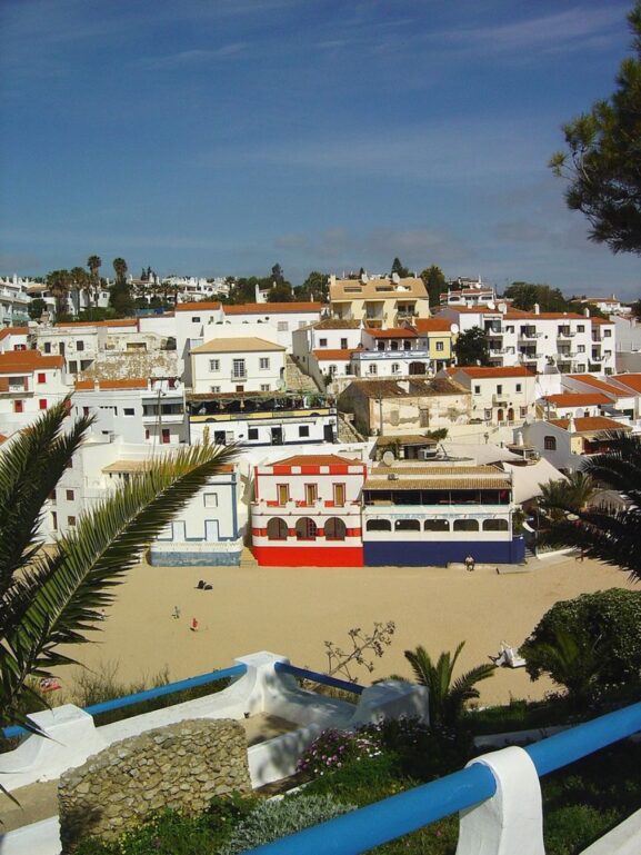
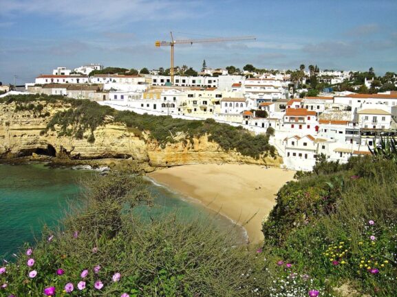
| Setting | Cliff-backed beach near Arrifana village in Aljezur municipality | Beach and river mouth near Aljezur | Coastal village and beach near Aljezur |
Amoreira is the more practical choice for straightforward access and a family beach visit. Surfers should select a beach only after checking the day’s swell, tide, wind, and local safety information. Arrifana may suit visitors comfortable with a steep approach, while Monte Clérigo provides another public beach option nearby.
What the Ribat Actually Is
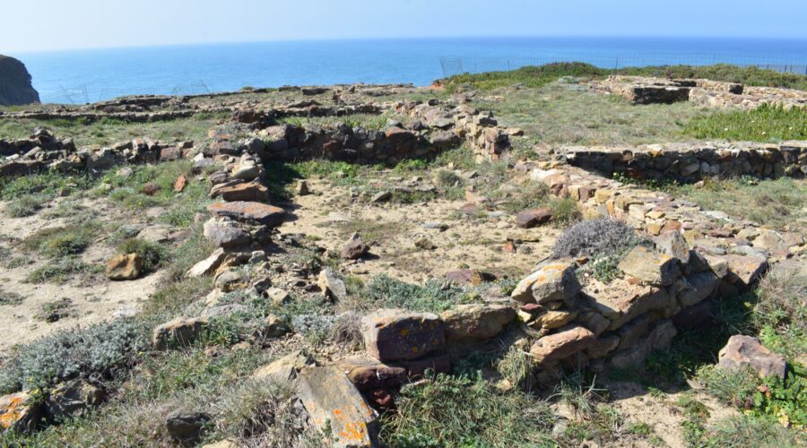
The Ribat of Arrifana is a medieval Islamic archaeological site on the coast near Arrifana. Its surviving remains reflect the historical use of this exposed coastal position. The site is modest in scale, so visitors should expect archaeological remains rather than an intact fortress.
This is a sensitive historic site rather than a conventional visitor attraction. Observe posted access restrictions, remain on permitted paths, and avoid entering closed areas. Coastal viewpoints provide context for the site’s exposed position without requiring access beyond marked public space.
Light changes quickly along the cliffs. Morning light generally gives the coastal landforms more definition, while afternoon light can create strong contrast. Conditions depend on the season and cloud cover, so treat this as a planning guide rather than a guarantee.
Getting There: Drive Times and Logistics
Arrifana beach is near Aljezur, in Aljezur municipality. Drivers normally approach through the Aljezur area and follow the signed local road toward Arrifana. Check current navigation information before departure because road access, traffic controls, and parking arrangements can change.
- From Lagos: allow around 45 to 60 minutes by car in normal conditions.
- From Aljezur town: allow around 15 to 25 minutes by car in normal conditions.
- From Sagres: allow around 45 to 60 minutes by car in normal conditions.
These are planning ranges, not guaranteed journey times. Summer traffic and parking queues can add delays.
Parking near Arrifana beach is limited. Check locally for current charges, seasonal restrictions, and designated overflow areas. Do not park on verges or block access roads. On summer weekends, arriving early can reduce the time spent looking for a legal space.
The route from the cliff-top parking area to the sand is steep and includes steps. It is not suitable for every visitor with limited mobility. The path can be difficult after dark, so plan to complete the ascent in daylight.
Practical Morning Planning
Morning is generally the most practical time to visit if you want cooler walking conditions, easier parking, and fewer people.
Weekday mornings outside summer are usually quieter than weekends and peak-season afternoons. If you are combining the beach with a section of the Rota Vicentina, start early and check the official route description, distance, estimated walking time, weather, and any temporary diversions. Carry the current stage map or GPX track on your phone, but do not rely on a phone as your only navigation method.
For photography, morning light can define the cliff face above Arrifana beach. A permitted cliff-top path can provide wider coastal views, but stay behind barriers and away from unstable edges.
What to Bring
Facilities near these beaches are limited, so carry the essentials you need for the time you plan to stay.
Bring water, sunscreen, and a windproof layer. Atlantic wind can make the cliff-top paths feel cooler than sheltered inland areas. Wear sturdy shoes if you plan to walk any section of the Rota Vicentina or another permitted coastal path.
If you plan to enter the water, check local warnings, surf conditions, tides, and lifeguard coverage first. Do not assume that conditions suitable for experienced surfers are safe for beginners or swimmers.
The Rota Vicentina crosses protected coastal landscapes with section-specific access rules. Stay on marked paths, follow posted restrictions, and check for temporary closures before walking.
Decision Guide: How to Sequence Your Visit
If you are walking the Rota Vicentina in stages, use the current official itinerary to plan the section between Amoreira and Arrifana. Route numbering, diversions, and estimated walking times can change. Arrifana can serve as the end point for a coastal walking section, but confirm transport and access arrangements before departure.
If you are driving specifically to visit the Arrifana coast, choose the beach according to access and conditions.
Choose Arrifana if you are comfortable with a steep descent and want a cliff-backed beach near the Ribat archaeological site. Arrive early, park only in designated areas, and allow time for the climb back to the cliff top.
Choose Amoreira if you want more straightforward beach access or are travelling with children. Check water conditions carefully because the beach includes a river mouth and Atlantic surf.
Choose Monte Clérigo if you want another public beach near Aljezur or if parking at Arrifana is full. Do not treat it as guaranteed overflow parking, since it can also become busy during summer.
The Arrifana coast works best when you decide in advance whether your priority is walking, beach access, photography, or surfing. The journey from Lagos takes time, parking is limited, and conditions can change during the day. An early start and a current route check make the visit easier to manage.