
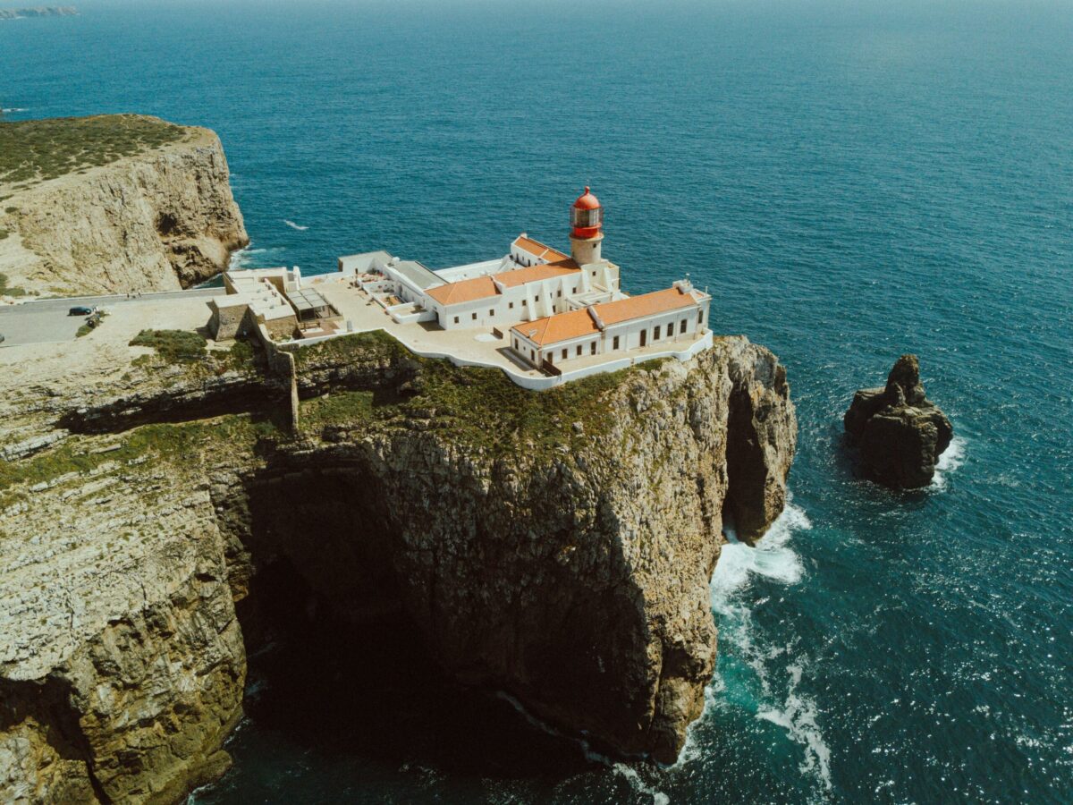
You’ve seen the photographs: a lighthouse on a cliff, Atlantic horizon in three directions, nothing but ocean to the Americas. Cabo de São Vicente is real, and it’s 75 metres straight down to the water. But most visitors stop for twenty minutes, take the same photo as everyone else, and leave. That’s the mistake.
The real experience at Europe’s southwesternmost point is the clifftop loop: a walk that takes you from the lighthouse, along the cliff edge, past the ruins of a 16th-century monastery, and back along the headland. Done properly, with the right light, it takes an afternoon. Done wrong, in a coach-tour crowd at midday, it’s a parking lot. This is what to do instead.
What Makes This Place Different
Cabo de São Vicente isn’t just a viewpoint. It’s a place with history written into the rocks. The cape marks the southwestern tip of continental Europe. For centuries before GPS and satellite navigation, it was one of the most important landmarks in European sailing: ships bound for the Mediterranean, West Africa, or the Atlantic crossed themselves as they passed it. Henry the Navigator established a navigation school nearby (Vila do Infante, now in ruins), and the cape itself became associated with myths: sailors believed the sun set so brightly here that blind people could see.
In 1846, a lighthouse was built over the ruins of a 16th-century Franciscan convent. Its twin 1,000-watt lamps remain among the most powerful in Europe (visible up to 60 kilometres out to sea).
Then the 1755 Lisbon earthquake changed everything. The monastery buildings, including the Vila do Infante where Henry the Navigator is thought to have worked, collapsed. The Franciscan friars remained and cared for the cape’s shrine until 1834, when Portugal disbanded all monasteries. What stands today is a combination of ruined walls, exposed foundations, and the lighthouse standing isolated on the headland.
The Clifftop Loop Walk
The full loop takes approximately 45 minutes at a moderate pace and covers the lighthouse, the cliff edge, the monastery ruins, and the headland viewpoint. It’s not strenuous, but it is fully exposed: there is no shade, and wind can be significant even in calm weather.
Start at the lighthouse car park. From here, walk east along the cliff edge toward the main viewing platform. This section is the most photographed. You’ll understand why immediately. The cliffs drop vertically 75 metres to the Atlantic. On a clear day you can see the horizon arc in every direction except east.
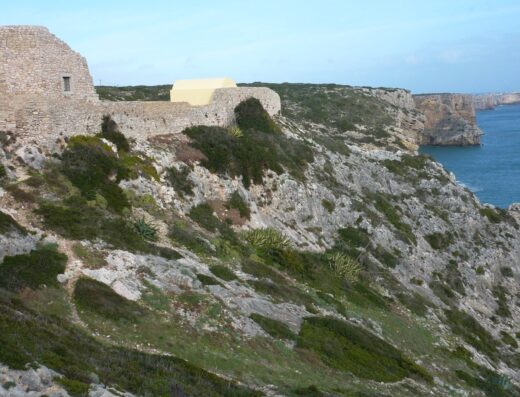
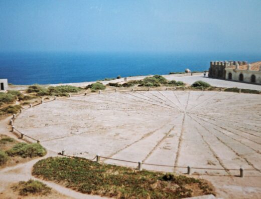
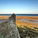
Continue south to the remains of the Franciscan monastery. The walls are low and the layout is still readable: cloister, chapter house, church footprint. The stones are the same grey-white limestone as the cliffs themselves, so the ruins blend into the headland. Read the information boards. They explain what stood where.
The headland viewpoint is the third stop. From here you look directly west over open Atlantic. This is the point that most visitors skip because it’s slightly further from the car park. Go anyway.
Return along the inland side of the headland, which is slightly sheltered from the prevailing westerly wind and offers different angles on the lighthouse and ruins.
Photography Notes
Cabo de São Vicente is at its best in the two hours before sunset, particularly from March through October. In April, golden hour falls around 19:45 (check exact sunset time on the day).
What to shoot: the lighthouse from the clifftop path (east-facing, best in late afternoon backlight); the monastery ruins with Atlantic backdrop (south-facing, best in morning or evening depending on cloud cover); the cliff edge at eye level (wide-angle from a safe distance); the headland in silhouette against a setting sun.
What to avoid: getting so focused on photography that you move too close to the cliff edge. The paths are well-maintained but the cliffs are not fenced in all sections. Wind gusts can be sudden and strong.
When to Go and When to Avoid
The car park at Cabo de São Vicente fills by mid-morning in summer (June to August). Coach tours typically arrive between 10 am and 2 pm. If you want the experience described here, go in the morning before 9:30 am, or in the evening starting at 17:00.
In April, the weather is generally mild (15 to 20°C) but the Atlantic wind can add a significant chill factor. Bring a layer even on a warm-feeling day.
Trail conditions: The path is gravel and limestone chip in most sections. Some short stretches are cobbled. Sturdy flat shoes are sufficient: no hiking boots required. The path is not suitable for wheelchairs or pushchairs due to uneven surfaces and steps.
Combining With Sagres
Cabo de São Vicente is approximately 6 km from the village of Sagres along the coastal road. Most visitors treat them as a combined half-day. Sagres itself has a 15th-century fort (Fortaleza de Sagres), a dramatic headland, and a small harbour. If you’re making the drive out to the cape, it’s worth 30 minutes in Sagres as well: the fort is substantially less crowded than the cape itself.
Suggested half-day itinerary: arrive at Sagres fort by mid-morning; drive to Cabo de São Vicente by early afternoon; walk the loop, then stay for sunset; return to Lagos or Portimão for dinner.
What’s Not Here
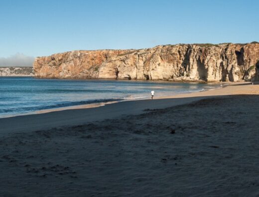
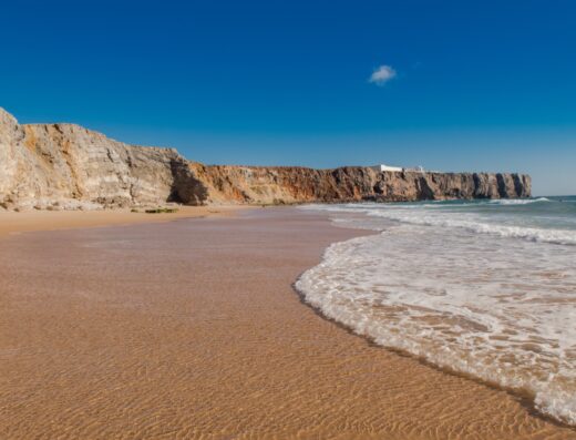
There is no beach at Cabo de São Vicente: the cliffs go straight into the sea. There are no shops at the cape itself (there is a small kiosk at the car park). No accommodation at the cape (there are hotels and guesthouses in Sagres, 6 km away). No shade. No shelter from wind. Bring water, sunscreen, and a windproof layer regardless of what the weather looks like when you leave your accommodation.
Logistics Summary
Loop walk duration: 45 minutes at moderate pace. Elevation change: minimal (mostly flat headland). Trail surface: gravel, limestone chip; some cobbled sections. Wind: significant and unpredictable. Always bring a layer. Sunset: ~19:45 in April (verify on the day). Best time: before 9:30 am or after 17:00. Restrooms: at car park only. Accessibility: not suitable for wheelchairs or pushchairs. Combined with: Sagres Fort (30-minute stop recommended).
About This Spot
-
General AreaNear Sagres, Vila do Bispo
-
Coverage BadgeArchive
-
Difficulty1 Easy
Getting There & Access
-
Getting There6 km west of Sagres along the coastal road, approximately 35 km (about 40 minutes) by car from Lagos and 45 km (about 50 minutes) from Portimão. The clifftop loop starts at the lighthouse car park.
-
Access TermsFree Public
-
ParkingPaid car park adjacent to the lighthouse, typically €1 to €2 per hour in April rates, motorcycles less. Large by Algarve standards but fills fast; full by mid-morning in summer.
-
Best TimeSunset
-
Crowd LevelVaries
Photography Notes
-
Shooting NotesLighthouse from the clifftop path (east-facing, late-afternoon backlight); monastery ruins against the Atlantic (south-facing, morning or evening); cliff edge wide-angle from a safe distance; headland in silhouette at sunset. Cliffs are not fenced in all sections. Don't creep toward the edge for a frame.
-
Light & Sun NotesAt its best in the two hours before sunset, particularly March through October; in April golden hour falls around 19:45 (check exact sunset time on the day).
-
ConditionsFully exposed headland: no shade or shelter; Atlantic wind is significant and unpredictable even in calm weather, with sudden strong gusts. Bring a windproof layer regardless of forecast.
Visitor photos


Location
Log in free to see the exact pin and directions.

Leave a Reply
Been here? Add your shots.
Photos you add appear on this page with your name on them, next to the community gallery. Tell the next photographer what you found: the light, the crowds, whether it was worth the trip.
A free account also unlocks the exact pin, how to get there and the best time of day, on every spot.