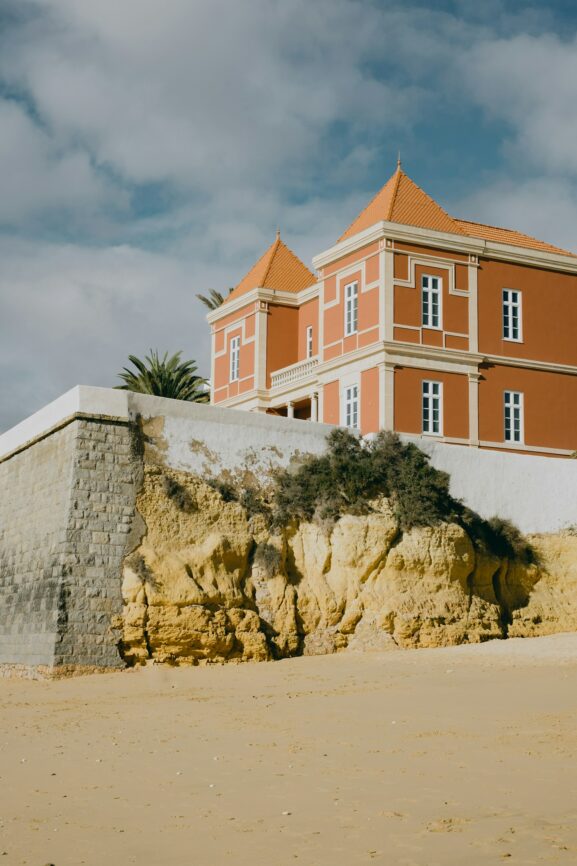
The Nature Reserves of the Algarve: Three Protected Areas Worth the Detour
The Algarve has a problem that most visitors never see. Behind the beach resorts and the marina developments lies a region of remarkable ecological richness — a chain of wetlands, coastal dunes, and Atlantic scrubland that runs the full length of the coast and supports species found nowhere else in Europe. Three of these areas have protected status: the Ria Formosa lagoon system in the east, the Sapal de Castro Marim at the southern tip, and the Costa Vicentina Natural Park along the unspoiled western shore. Each is different in character, each is free to access in its essential form, and each offers something that the developed coastline — for all its attractions — cannot.
## Ria Formosa: The Living Lagoon
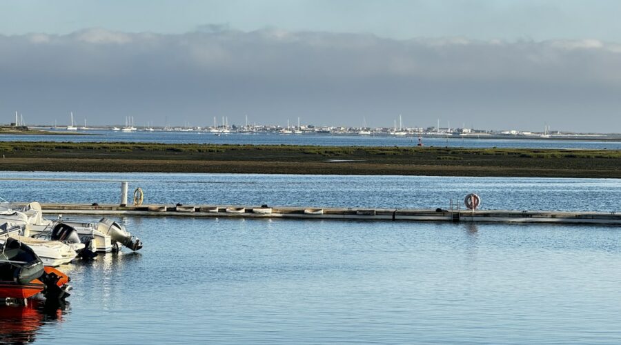
Ria Formosa is the largest coastal lagoon system in Portugal, stretching 55 kilometres from Tavira in the east to Ancão in the west. It is not a single entity but a chain of barrier islands, tidal channels, salt marshes, and shallow tidal flats that together form one of the most productive ecosystems in southern Europe. In spring and autumn, migratory birds stop here in their thousands — waders, wildfowl, terns, and flamingos that have flown from Scandinavia, sub-Saharan Africa, and the Baltic to feed in the shallow warm water. The lagoon also harbours one of Europe’s last viable populations of the seahorse and the purple snapper — fish species that have largely disappeared from the more heavily fished coastal waters outside the reserve.
The best way to understand Ria Formosa is to walk it. The boardwalk at Quinta do Lago — accessed via the wooden walkway that begins near the Paulo Lauritsch hide — takes you over the salt marsh on a 2-kilometre circular route that passes bird hides at intervals. The bird hides are simple structures, often empty, and that is part of their value: you sit inside, still, and wait. On an incoming tide, flamingos move within 30 metres of the hides. Spoonbills feed in the shallows. On a good spring morning, the lagoon is alive with movement.
From Faro, the Ria Formosa nature reserve headquarters at Quinta do Marim is open Monday to Friday and has interpretive displays in Portuguese and English. The adjacent salt marsh walk — a flat 1.5-kilometre loop — is accessible without a guide and gives a clear sense of the pan system that once dominated this entire coastal strip. The salt pans are being actively restored, and the combination of working salt production and ecological recovery is one of the most interesting conservation stories in southern Portugal.
**Best timing:** Spring (April–May) for bird migration, or autumn (September–October) for returning flocks. Summer works for the lagoon views but bird activity is lower. Winter is good for seeing large flocks of flamingos that stay year-round.
**Local tip:** The village of Fuseta, on the inland side of the lagoon, has a small harbour where you can take the regular ferry (or watermen at low cost) across to the barrier islands. The island crossing — 15 minutes by boat — drops you on a beach that has no hotels, no kiosks, no sunbed hire. Just sand, dune, and the Atlantic. Walk east along the beach for 20 minutes and you will be entirely alone even in August.
## Sapal de Castro Marim: The Salt Marsh at the Edge
South of Castro Marim town and immediately east of the Guadiana River mouth, the Sapal de Castro Marim e Vila Real de Santo António is a nature reserve of a quieter kind. Where Ria Formosa is large and varied — islands, channels, pans, tidal flats — Sapal de Castro Marim is concentrated and intimate: a flat salt marsh landscape of about 2,000 hectares that you can walk in a morning and understand completely. The reserve is managed by ICNF (the Instituto da Conservação da Natureza e das Florestas) and is one of the most reliable places in the Algarve for seeing greater flamingos, black-winged stilts, and the Audouin’s gull.
The entry point is from the EN125 road just south of Castro Marim village. A signed minor road drops down to a small car park and an information panel, from which a network of earth paths leads out into the marsh. The paths are open and exposed — there is almost no shade — and the birdlife responds to this openness. Walk quietly along the margin path and you will see stilts working the muddy edges, shelducks in the shallow water, and if you are there in the right season, the improbable pink shapes of flamingos feeding in the pans below the path level. The birds here are habituated to the walking routes but not to loud noise or dogs. Keep both quiet.
The salt pans visible from the path are active. Harvesting typically takes place from June to September, when the fleur de sel is lifted by hand from the surface of the concentrating pans. This is the same tradition that produced the salt that was loaded onto Phoenician ships two thousand years ago, and the working rhythm of the salinas has not changed substantially. If you encounter a salt worker on the path during the harvest season, they are usually happy to explain the process — particularly in the early morning, before the heat makes outdoor work uncomfortable.
**Best timing:** April through June for maximum bird activity during the breeding season. September for the salt harvest and flamingo gatherings. The reserve is accessible year-round, but summer midday heat makes walking uncomfortable.
**Local tip:** The nearest good viewpoint over the full extent of the marsh is from the hilltop at Castro Marim’s castelo. The medieval fortification sits above the reserve on a rocky outcrop and gives a panoramic view across the flat marshland to the Atlantic. It is free to enter and is open during daylight hours. Combine it with the marsh walk: spend 30 minutes at the castle in the morning for orientation, then walk the marsh paths in the cooler part of the afternoon.
## Costa Vicentina Natural Park: The Wild Coast
The Costa Vicentina Natural Park runs from the village of Odeceixe on the northern border of the Algarve down to Burgau in the south — approximately 100 kilometres of Atlantic coastline that has been protected since 1988 and remains one of the most undeveloped coastal strips in southern Europe. Unlike Ria Formosa and Sapal de Castro Marim, which are wetland systems, Costa Vicentina is a landscape of sea cliffs, headlands, cove beaches, and Atlantic scrubland that changes dramatically with the seasons: bone-white in the dry summer, green and windswept in the winter, and spectacular in either state.
The park is managed to limit development. The villages within its boundaries — Odeceixe, Aljezur, Carrapateira, Vila do Bispo — have grown modestly and retain their character. The coastal walks are the main attraction: the Rota Vicentina long-distance trail follows the cliff tops for the entire length of the park, with shorter day-walk sections accessible from most of the villages. The most dramatic single stretch is between Praia do Castelejo and Praia da Mareinha, just south of Odeceixe, where the cliffs drop 80 metres to the Atlantic and the path runs along the cliff edge with views that extend on a clear day to the Sintra headland 200 kilometres to the north.
The park’s beaches are among the most dramatic in Portugal. Praia da Arrifana, beneath the village of Aljezur, is a crescent of sand enclosed by cliffs and famous among surfers for its consistent left-hand break. It is also one of the most photographed stretches of Portuguese coastline and, crucially, remains completely undeveloped — no hotels, no beach bars, no car parks beyond the basic roadside areas. The same applies to the other beaches within the park: simple, powerful, accessible by foot.
The interior of the park is worth the detour as well. The area behind the coastal strip is an ancient cultural landscape of cork oak forest, heath, and smallholdings that is as biologically rich as the coast. The country roads between Aljezur and the hilltop village of Marmelete pass through a landscape that has changed very little in a century.
**Best timing:** The Rota Vicentina and cliff paths are at their best in spring (April–June) when the heathland blooms purple with heather and the temperatures are comfortable for long walks. Autumn (September–October) is also excellent — quieter, warm, the light low and golden. Summer weekends can be busy at the most accessible beaches. Winter offers the full drama of Atlantic storms from a safe distance, though some secondary paths become muddy.
**Local tip:** The Rota Vicentina has a well-developed network of accommodators (sleeping areas) along the trail, but the park’s interior is best explored with a local guide — particularly the area around Carrapateira, where the cork oak forest and the traditional transhumance routes are explained best by someone who grew up here. The turismo de aldeia associations in the park’s villages can put you in touch with registered local guides. This is not a commercial recommendation; it is a practical one — the knowledge transfer you get from an hour with a local guide in this landscape is not reproducible from any guidebook.
## Comparing the Three: Which to Choose
The three reserves serve different purposes and suit different temperaments. Ria Formosa is the most varied — lagoon, islands, pans, and birdlife in a compact area — and is the easiest to access from the major centres of Faro, Tavira, and Olhão. A half-day visit to the Quinta do Lago boardwalk or a Fuseta island crossing gives a complete sense of what the lagoon is and why it matters. It is the most forgiving of short timeframes.
Sapal de Castro Marim is the smallest and most concentrated — a single marsh landscape that you can walk completely in a morning. It suits the visitor who wants to understand one ecosystem deeply rather than move between several. The combination of active salt harvesting and birdlife observation makes it one of the few places in the Algarve where ecological and economic production coexist visibly.
Costa Vicentina is the largest and most demanding — it requires time, a car, and a willingness to walk — but it is also the most transformative. The cliff coast from Odeceixe to Burgau is genuinely unlike anything else in southern Portugal: wild, Atlantic, and largely unchanged. No other stretch of the Algarve coast gives you this combination of scale, emptiness, and geological drama.
## Practical Notes
All three areas are free to access in their essential form. The exceptions are the Ria Formosa ferry crossing (a few euros) and any ICNF-run visitor centres where admission applies (typically minimal cost). The Rota Vicentina trail is free to walk.
Transport to Ria Formosa and Sapal de Castro Marim is straightforward by car; the coastal train between Faro and Tavira passes close to the Ria Formosa lagoon edge. Costa Vicentina requires a car for the coastal route and most of the trail sections, though the main village-to-village sections are reachable by regional bus.
Footwear matters in all three reserves. Ria Formosa’s boardwalks handle most conditions, but the island beaches at low tide require waterproof sandals or shoes that can get wet. Sapal de Castro Marim’s earth paths turn to mud after rain and are dusty in summer. Costa Vicentina’s cliff paths are rocky and can be windswept even in summer — sturdy footwear is essential for the longer routes.
Leave no trace in all three reserves. These are working and protected landscapes, not curated parks. The flamingos, the salt workers, and the cork oaks do not need your help, but they are damaged by disturbance, litter, and off-path walking in sensitive zones.