
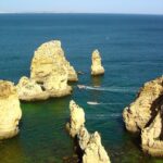
Praia da Pedra Agulha is not a soft beach day in the usual Algarve sense. The draw here is the edge of the Costa Vicentina: high cliffs, open Atlantic water and the narrow offshore form of Pedra da Agulha giving the place its name. Come for the view first, not for a towel spot on the sand.
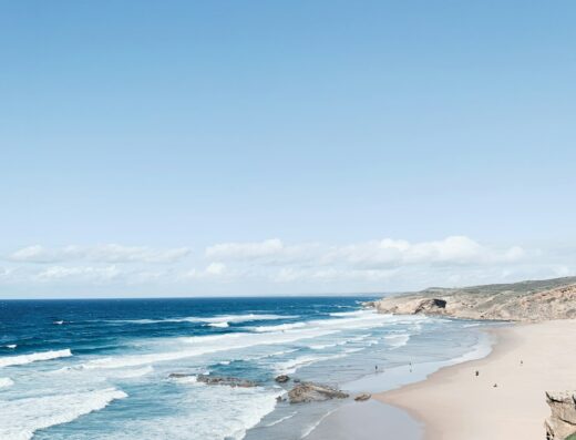
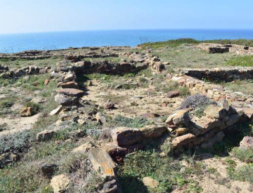
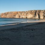
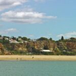
The strongest photograph is from above, where the cliff line drops toward the sea and the beach reads as a rough, compact pocket rather than a broad bathing cove. The shoreline is rocky, and one visitor description makes the access sound closer to a ravine and stones than a simple beach approach. That honesty matters here. The place works best as a landscape stop for people who want the raw west-coast texture of the Algarve, with fewer built edges and more cliff, water and weather.
When to go: clear daylight gives you the safest read of the cliffs, the access and the shape of the shore. The available material points to summer visits and a morning start, but does not establish a single best light window. The view is the reliable subject: Atlantic water, cliff faces, the small beach below and the Pedra da Agulha feature offshore.
Access needs care. The spot appears on hiking and Fishermen’s Trail context, and the practical accounts point to awkward terrain rather than an easy beach entrance. Treat it as a cliff and rough-shore photography stop, wear proper footwear, and do not assume the map outline means a broad usable sand beach. There are nearby Costa Vicentina stops to pair it with, including Praia do Canal and the Arrifana coast, so it makes sense as part of a west-coast circuit.
Who it’s for: landscape photographers, hikers with a camera and anyone looking for a less polished coastal frame. It is a poor choice if you need easy access, predictable beach facilities or a classic sand-and-umbrella scene.
About This Spot
-
General AreaNear Aljezur, Algarve
-
Coverage BadgeArchive
-
Best Seasonany
-
Difficulty4 Pro
Getting There & Access
-
Getting ThereReached from the Costa Vicentina cliff area, with hiking context from the Fishermen's Trail and nearby coastal routes. Access to the shore is not simple and involves rough terrain.
-
Access Termsfree-public
Photography Notes
-
Shooting NotesWork from the cliff viewpoint for the main composition: cliffs, Atlantic water, the compact rocky shore and Pedra da Agulha as the identifying feature.
-
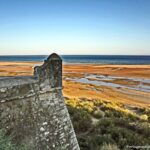
ConditionsExpect rough coastal terrain, cliff exposure, a rocky shoreline and waves. Do not treat it as an easy sandy beach access.
Visitor photos


Location
Log in free to see the exact pin and directions.

Leave a Reply
Been here? Add your shots.
Photos you add appear on this page with your name on them, next to the community gallery. Tell the next photographer what you found: the light, the crowds, whether it was worth the trip.
A free account also unlocks the exact pin, how to get there and the best time of day, on every spot.