Salema Fossil Cliff: Walking the Dinosaur Footprint Beach Before the Tide Comes In
Finding the Beach and the Footprints
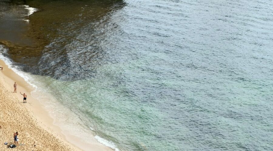
Praia da Salema is one of the western Algarve’s most reliable family beaches — a wide crescent of sand backed by low ochre cliffs in the gap between Lagos and Cabo de São Vicente. The village is compact, the beach is well-signposted off the EN120, and in summer it draws a crowd. But most of those visitors head straight for the water and miss the most extraordinary thing about the place.
At the western end of the beach, a set of stone stairs climbs down from the clifftop car park. Descend them and face the sea. Now turn right. Among the jumbled limestone platforms that line the shoreline at low tide, a geological story is written in stone — one that predates the Algarve as we know it by about 130 million years.
The dinosaur footprints are here, embedded in a flat limestone shelf at the base of the cliffs. You will find them most easily by heading to the far western end of the beach and looking for the section of rock that sits just beyond where the main sand ends. There are no official signs. The markers that exist are a small dinosaur motif painted on the clifftop — easy to walk past if you are not looking. Locals have always known the footprints were here; the scientific documentation by University of Lisbon geologists came in 2001, but the tracks had been in the rock long before anyone put a name to them.
What the Footprints Tell You
The prints belong to an ornithopod — a herbivorous bipedal dinosaur whose name means “bird-foot,” a nod to the three-toed, rounded shape of its tracks. These were not small creatures. From the stride length and footprint depth, researchers have estimated that the animal stood roughly 2.2 metres at the hips, moving across what was then a muddy lagoon floor at a gentle saunter of about 2 km/h. The toes are rounded, without claw marks — consistent with a herbivore that had no need to dig or tear.
The rock itself dates to the Lower Cretaceous, around 150 million years ago. The yellow-grey limestone platform you are standing on was laid down in shallow coastal waters, a lagoonal margin where dinosaurs occasionally wandered. The sediments preserved their footprints before anything could disturb them — a process that required exactly the right sequence of submergence, deposition, and lithification to survive to the present day.
There are at least two separate track sites along this stretch of coastline. The western set, accessible from the main Salema beach stairs, shows several footprints in a line, allowing you to trace the dinosaur’s path. A short distance further east, on another large slab, at least seven prints from three individual animals have been documented — multiple dinosaurs crossing the same spot, perhaps drawn to the water’s edge. You do not need a guide to find the most obvious prints, but taking your time to scan the platforms at low tide will reveal smaller secondary impressions you might otherwise miss.
The Geology Beneath Your Feet
The entire western Algarve coastline is built from Cretaceous limestone, but the stretch around Salema is particularly rich in paleontological evidence. The yellow-grey Lower Cretaceous rocks visible at the base of the cliffs are part of the same geological formation found between Porto do Mós and Sagres, and again near Aljezur. Above them, the redder Quaternary strata cap the cliffs — geologically recent by comparison.
What makes Salema unusual is not just the presence of footprints, but their accessibility and clarity. Many fossil tracksites in Portugal require serious hiking or specialist knowledge to reach. Here, at low tide, the platforms are exposed directly on the shoreline — you can walk out to them from the beach, crouch down, and put your hand into a depression left by a dinosaur that crossed this exact spot in the Early Cretaceous. There is something immediate and physical about that connection that no museum display can replicate.
The surrounding cliffs, particularly at the western end, are also worth examining. Their stratified layers show the ancient sediment structures — ripple marks, cross-bedding, the compressed remnants of an environment that would have looked entirely alien by today’s standards.
Low Tide: When the Past Becomes Visible
The single most important factor in visiting the Salema fossil site is tide timing. The footprints are only fully exposed and safely accessible at low tide. At high tide, the limestone platforms are submerged, and the approach across wet, slippery rocks carries real risk of being caught by a wave surge. Even at mid-tide, spray and slippery algae on the rock surfaces make the footing treacherous.
Check a tide table before you go — the Portuguese maritime authority (APRJ) publishes free tidal data online, and most weather apps include tide information for Lagos or Sagres. In late March 2026, spring tides in the western Algarve produce their lowest water levels in the mid-to-late morning, making this a genuinely good window for a visit. The footprints are not a “sunrise only” site, but the morning low tide tends to give the most stable, dry rock surfaces.
One useful tip from regular visitors: the clarity of the footprints improves after the platform has been exposed by several hours of falling tide. If you arrive exactly at the moment of lowest tide, the rock may still be drying. An hour or so after the low, as the surface dries and the light rakes across it, the three-toed impressions become dramatically visible — shadowed, textured, and unmistakable.
Walking the Cliff Path to Praia Santa
If you have the time and energy after exploring the footprints, the clifftop path heading west from the Salema car park leads toward Praia Santa, a smaller and more secluded cove roughly 20–30 minutes walk away. This section of the Rota Vicentina or the coastal footpath is well-maintained and marked with yellow-and-white waymarks. The views over the Atlantic are open and expansive, and the geology is continuous — you are walking over the same Cretaceous limestone formation, and the cliffs on this section also show fossil evidence in their layered faces.
Praia Santa has its own fossil interest: there are reports of additional tracks in the area, though they are less documented and less accessible than those at Salema. The walk itself is the reward — a windswept coastal traverse that gives a real sense of how the land drops away toward the ocean.
Practical Tips
- Parking: Salema has a clifftop car park at the western end of the beach, with a small dinosaur motif painted near the stairwell entrance — look for it rather than the beach access below. The car park has informal but adequate spaces and is free. For the most direct access to the footprints, this is the right place to leave the car. Coordinates: approximately 37.072°N, 8.826°W.
- Best tide: Check low tide timing before visiting. The footprints are only safely and fully accessible at low tide — at mid to high tide the platforms are covered or dangerously slick. An incoming swell at mid-tide is the most hazardous combination: submerged rocks with wave splash making everything slippery. Use a tide app or check the Lagos/Sagres tide table before you leave.
- Best time of day: Late March through May, mid-morning to early afternoon low tides offer the best conditions. The light rakes across the limestone platforms in the late morning, making the footprints cast visible shadows and easy to photograph. Summer mornings can already be hot; autumn (September–October) is excellent if you time the tide correctly.
- One safety note: The limestone platforms are covered in algae and can be extremely slippery when wet — both from tide splash and from morning dew. Sturdy shoes with good grip (not flip-flops) are strongly recommended for crossing to the footprints. Never turn your back on the sea here: the Atlantic swell can reach the lower platforms suddenly, even when it looks calm from the beach. If in doubt, stay on the sand and view the footprints from the shore — they are visible from the beach at very low tide without needing to cross the rocks.